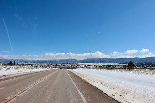
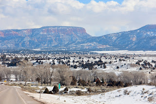
Bryce Canyon is roughly 2 hours north of Zion, but it’s all uphill as the altitude changes from 4,000 ft in the Zion valley to 7,956 at the Bryce Lodge. Historical temperatures for March showed 44oF day / 19oF night. In retrospect, I should have looked at February also (since this was only first week in March). That would have been likely more accurate: 38oF day / 13oF night. But nooooo! I would’ve still been 10-15oF off!! (remember the cold front I mentioned earlier?). On the day, the high turned out to be 20oF!! And as we arrived, a serious snowstorm was raging through. The campsite we booked wasn’t just covered by a couple feet of snow but had no water or electric hookups. We had a tank full of gas and propane was 3/4 full but didn’t want to take a chance by running the engine/generator all night. Not when the forecast was indicating 7oF (yes, SEVEN!!) overnight. That’s 14oC below freezing. So, the unanimous decision was to book a hotel overnight. So much for the first RV-ing experience!! The vehicle was equipped with a tank water heater, but how about all the piping and water lines underneath?? Yeah, I thought so… Tip #6: make sure the temperature is conducive to camping in an RV (don’t go in the winter) or have the RV properly winterized (although not sure any amount of insulation would prevent water from freezing at that temperature)
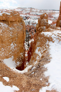
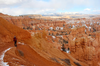
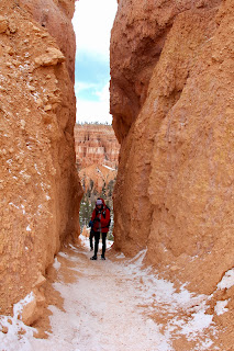
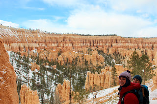
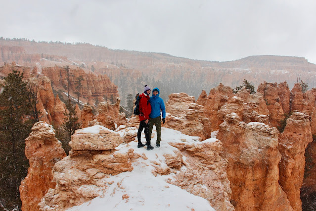
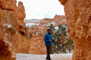
The hike was not as strenuous (or long) as Zion the day prior, but still managed about 6.5 miles by walking the “Figure Eight”, which if you want to consider individually, includes the Queen’s Garden, 1.9 miles to get slowly introduced to the grandiose hoodoos as you make your way down the canyon, the Navajo Loop, 1.3 miles across the bottom of the canyon, culminating with the hard ascent back up to the parking lot, and Peekaboo Loop, a bit longer, at 3.3 miles, but definitely the best one of all. Varied terrain, sprawling vistas, but most importantly, amazing views as you step around every corner and tunnel (hence the name of the trail).
Queen's Garden and [part of] Navajo Loop:
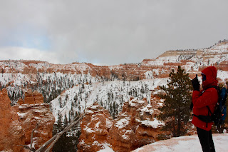
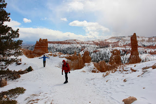
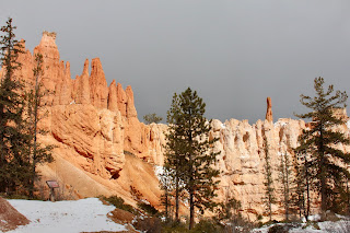
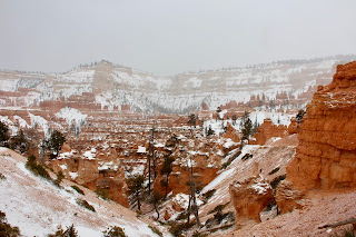
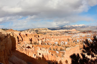
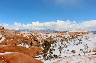
That said, peering through the hard falling snow, the backdrop of red rock against the blue sky (once the sun came out) mixed with the bright white snow and peppered with the occasional evergreen was just astonishing. You won’t get that picture in the summer!
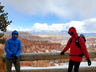
First things first, before embarking on a hike down in the canyon: chains! We learned our lesson, and that was the best $30 (each) spent on this trip. Then layer over layer. We packed for cold, just not THIS cold. Yet once on the trail, and down in the canyon where the wind was no longer a factor, it became bearable. I dare say even warmed up at some point. On a positive note, we had the whole park almost to ourselves. We met a handful of people on the shorter trails, but once we ventured further back in the park (Peekaboo trail) we came across only 5-6 other groups that were brave enough (read crazy enough) to defy the elements. Tip #7: do layer up, and invest in some proper, quality gear (wool socks, solid footwear, moisture-wicking synthetics, breathable layers, and waterproof shells are a must!)
The hike was not as strenuous (or long) as Zion the day prior, but still managed about 6.5 miles by walking the “Figure Eight”, which if you want to consider individually, includes the Queen’s Garden, 1.9 miles to get slowly introduced to the grandiose hoodoos as you make your way down the canyon, the Navajo Loop, 1.3 miles across the bottom of the canyon, culminating with the hard ascent back up to the parking lot, and Peekaboo Loop, a bit longer, at 3.3 miles, but definitely the best one of all. Varied terrain, sprawling vistas, but most importantly, amazing views as you step around every corner and tunnel (hence the name of the trail).
Queen's Garden and [part of] Navajo Loop:
The last push, however, the switchback up to Sunset Point, was pretty brutal, considering we were at the end of that 6.5-mile hike, in below zero temps, and sore after the 10+ miles the previous day. The good thing was a hot shower and comfortable hotel room were just down the road.


 |
| View from Sunset Point |


Before heading to the hotel, however, we made our way all the way south to Rainbow Point (13 miles) where the park ends. By then, the sun was setting, and the temps were really dropping fast! Stole a few more glances into the horizon, grabbed a few more pics, then off to a nice dinner and a warm hotel room!
Follow below for the other entries in this trip:
Day 1 - Zion
Day 2 - Zion, Angel's Landing
Day 3 - Bryce Canyon
Day 4 - From Bryce to Moab
Day 5 - Arches National Park
Day 6 - Canyonlands & Monument Valley
Day 7 - Colorado River & Horseshoe Bend
Day 8+ - Antelope Canyon & Vegas
Links:
Bryce Canyon park: https://www.nps.gov/brca/index.htm or https://www.brycecanyoncountry.com/
Trails (figure 8 loop): https://www.nps.gov/places/000/navajo-loop-trailhead.htm#:~:text=Combination%20Loops,)%20Figure%2D8%20Combination%20Loop.





















No comments:
Post a Comment